Skip to content
HOME
ABOUT US
PRODUCTS
IR3 TELEMATICS SOLUTIONS
IR3 MOBILE APP
RESOURCES
BLOGS
CASE STUDIES
VIDEOS
IR3 OPERATIONAL
CONTACT US
HOME
ABOUT US
PRODUCTS
IR3 TELEMATICS SOLUTIONS
IR3 MOBILE APP
RESOURCES
BLOGS
CASE STUDIES
VIDEOS
IR3 OPERATIONAL
CONTACT US
Search
Operation and Major Event Planning for a Very Large Police Service
Route optimisation for officers and police vehicles
The challenge:
To support the preparation of plans for events such as International Conferences, emergency plans, and major incidents amongst others
The service needed a tool to create and share operational plans in a geospatial mapping environment
To plan policing strategy for the event
To brief officers prior to the event
To provide copies of briefing maps to official bodies in preparation
To provide copies of maps to officers to take out with them (electronic and paper) when policing the event or operation
Our solution:
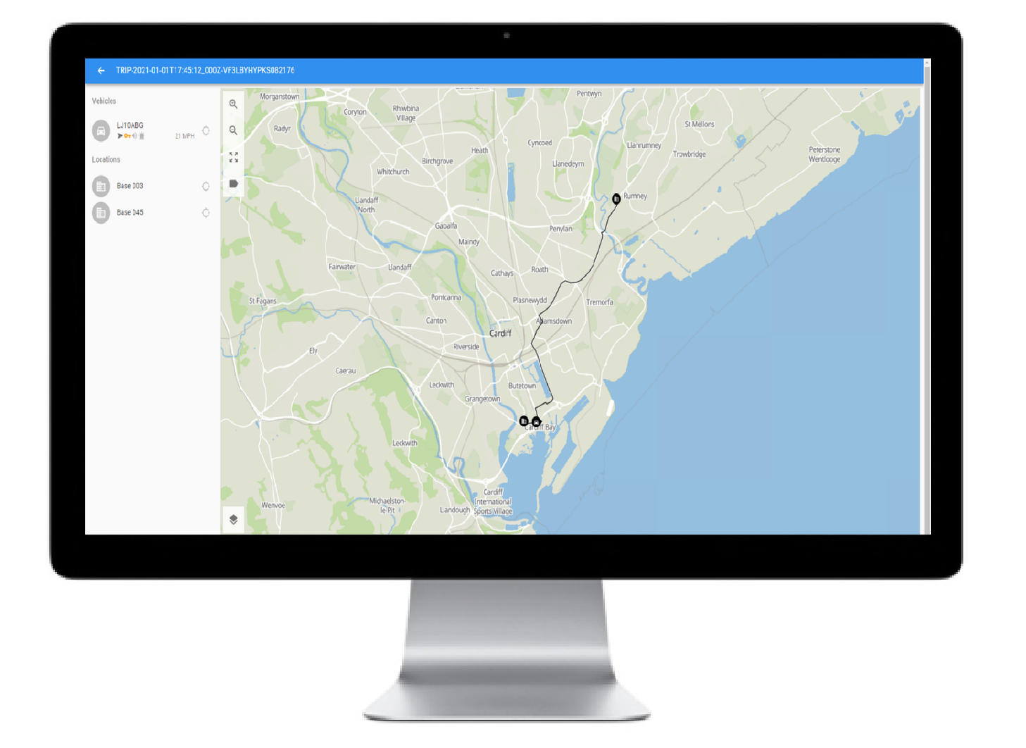
LBA created map-based software that allowed users to visually describe plan details, geographical sectors inside one to many operational plan areas
System users could plan routes, route notes, times and locations of resources, as well as any other mapping objects and deemed useful
The outcome:
The ability to prepare and brief expectations to officers for operations and major events
Management of resources against the plan in real-time using iR3 as operations and major events unfolded
iR3 monitored resource locations against a given plan in real-time
Find out how Lightbulb Analytics can transform your fleet
CONTACT US